
Map of North Africa (huge Picture)
open map in its own browser window
A few notes on the map:
- The map shows Northern Africa as it looked around 1941, some roads and tracks that exist today did not exist back then. The Tunisia/Algeria border also shows the state of affairs before the countries became independent in the 1950s (much of what was southern Tunisia back then is Algerian territory today).
- The map was drawn by myself, I do not claim 100% accuracy for everything - it should serve to give a general idea of the layout of the countries.
- There is no generally accepted spelling for most of the towns and settlements in Libya - Jalo and Jarabub are sometimes spelled Gialo and Giarabub, Murzuk is sometimes referred to as Murzuq, etc. I chose to use the spelling that is most often found in LRDG texts.
- Since I did not want to clutter the map with too much text, I only included towns and settlements that have some relevance to LRDG history. I also left out some names of regions that are often referred to in LRDG sources. For the record, the Quattara depression lies east of Siwa, south of the escarpment that runs eastward. The Fezzan is the region around Murzuk, the horseshoe-shaped sand sea between Egypt and Libya is called "Egyptian Sand Sea" in its eastern part and "Kalansho Sand Sea" in the western (Libyan) part (as a matter of fact, it was only discovered by LRDG patrols that both sand seas are parts of one larger sand sea - apparently, noone had bothered travelling there before LRDG set out on their desert patrols).
- Many of the roads shown in the map were nothing more than rough tracks
through desert wasteland at the time - the only roads that deserved the name
were the one running from Tripolis along the Mediterranean eastward up to
the Egyptian border and the one leading from Alexandria to Cairo and further
south along the Nile. At any rate, all the roads and tracks in Libya were
in use by the Italian army and were regularly patrolled by Italian armored
forces or planes and thus were avoided by LRDG patrols whenever possible.
Images of various locations in Libya and Egypt
Images by András Szorbay
More of András's wonderful images, as well as lots of information on his desert expeditions, can be found on his homepage.
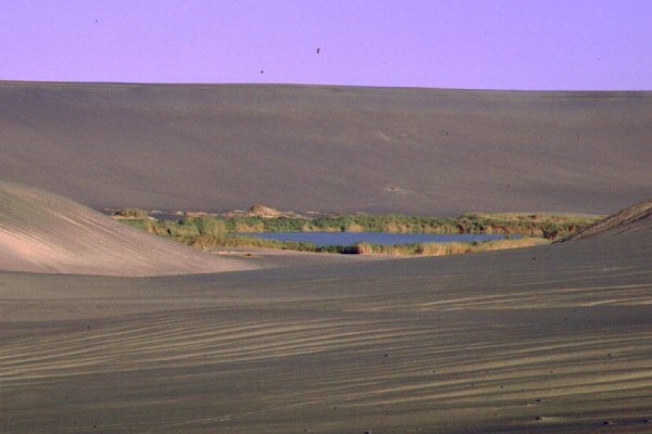
The Wau Namus Crater |
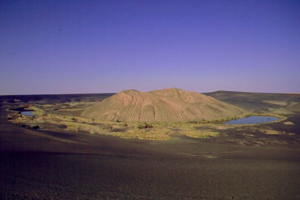
Another view of the crater area |
In the Karkur Idriss area |
Near Kufra |
The Djebel Uweinat |
In the Gilf Kebir |
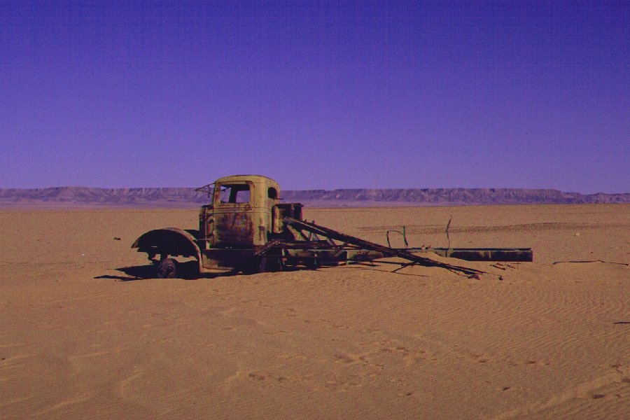
Wreck of a White truck in the Gilf Kebir - this could be a truck used by LRDG's Heavy Section |
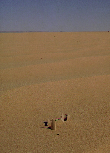
LRDG rum jar, found near Wadi Sora |
Images by Kuno Gross
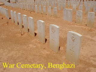
The War Cemetery at Benghazi |
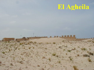
Italian Fort at El Agheila |
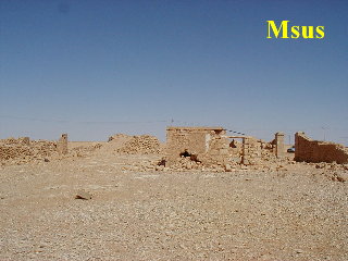
Remnants of the Italian Fort at Msus (Southeast of Benghazi) |
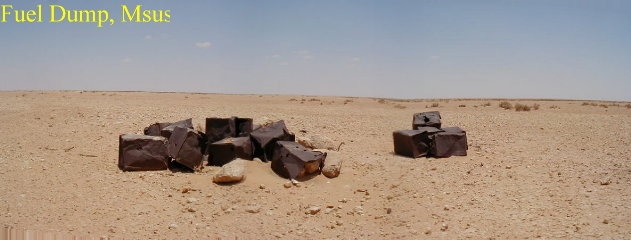
Fuel Dump near Msus |
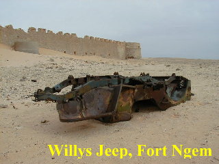
Remnants of a Willy's Jeep near the Buerat mine field |
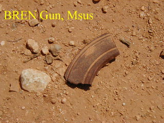
Bren magazine, found near Msus |
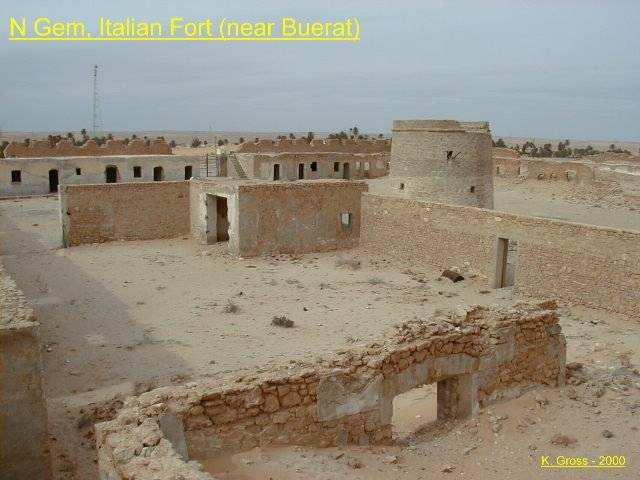
Remnants of the Fortifications at Ngem |
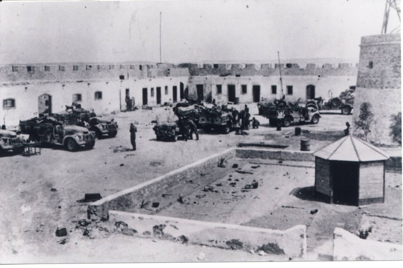
The same fortifications a couple of years earlier, with LRDG trucks in place |
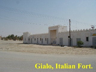
The Italian Fort at Jalo |
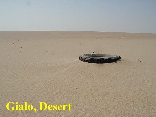
Desert near Jalo |
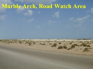
Near the former location of Marble Arch - this is the area where LRDG held most of its road watches |
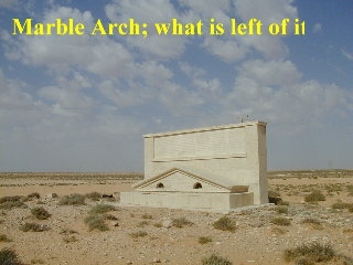
This might be a remnant of Marble Arch (which was blown up some time in the 1960s) |
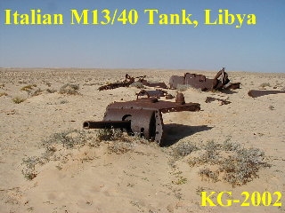
What is left of an Italian M13/40 tank |
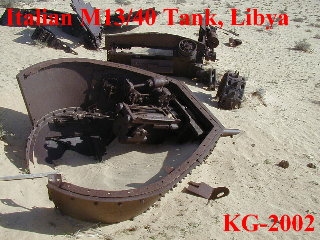
Another battered M13 tank |
Images by Carlos Didelet
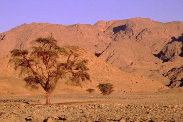
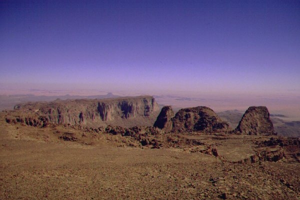
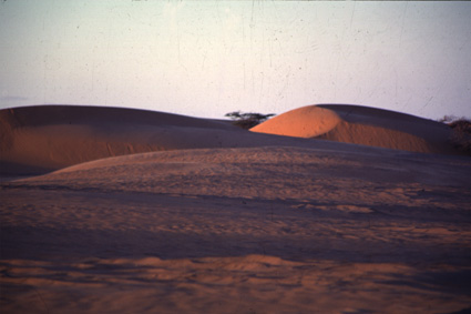
Landscape in the Fezzan |
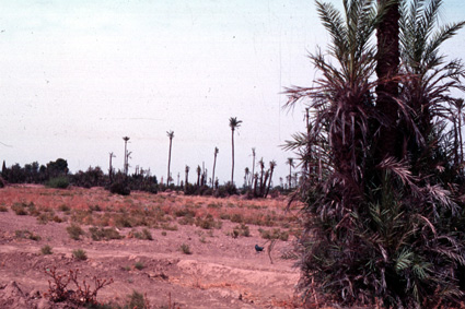
Near Siwa Oasis |
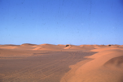
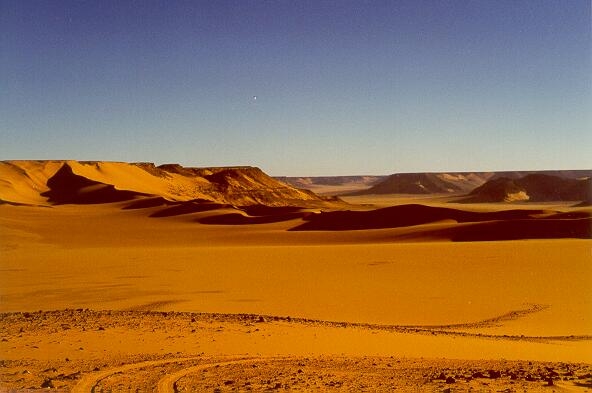
The Kalansho Sand Sea |
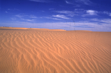
More endless sand in the Kalansho Sand Sea |
Near Easy Ascent |
|
Images from various sources
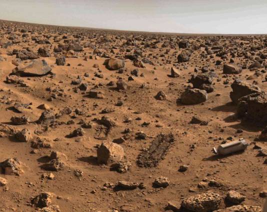
Bizarre landscape near Kufra |
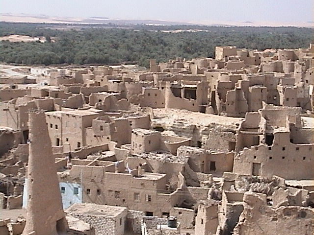
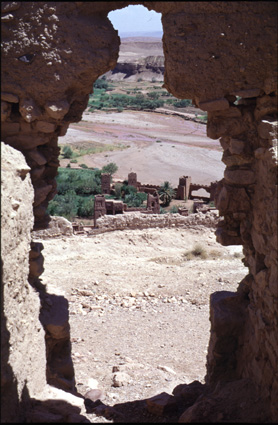
Ruins of the old town in Siwa |
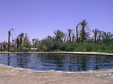
Siwa Oasis |